Why you shouldn’t use drones to make maps
Getting an aerial perspective was once an expensive undertaking for businesses and local authorities.
Today we can easily obtain aerial imagery from different sources both online and offline. A popular offline option is to use drones to fly over an area and capture an aerial image. People often refer to other online mapping services for an overhead perspective. While both options have practical uses, they also have significant shortcomings if you need accurate information that allows you map an area for the purposes of planning commercial activity.
Drones
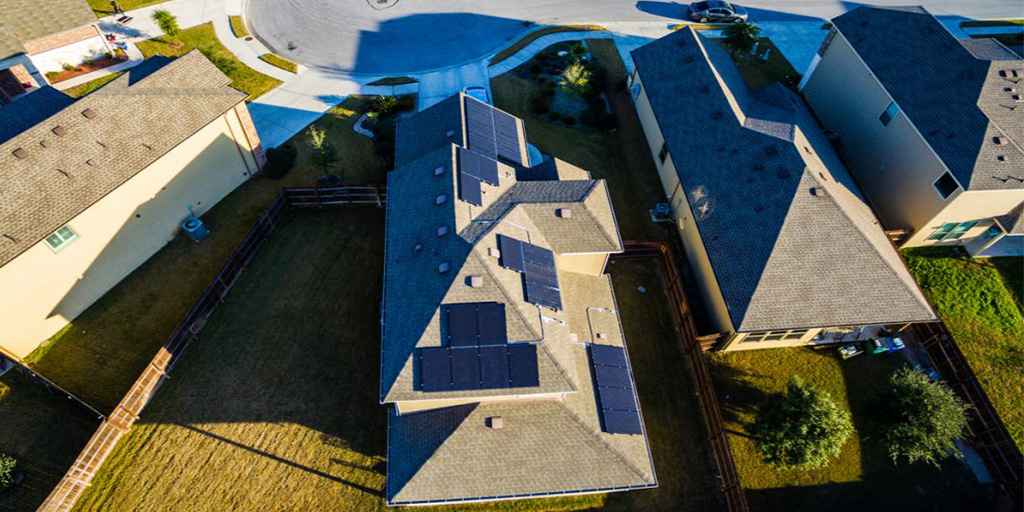
Drones have become increasingly popular for delivering a conventional perspective aerial photograph. However, a conventional photograph will have many distortions that result in the image not being a true reflection of scale.
Drone aerial images won’t give you accurate measurements because there’s too much distortion.
There are several things that can affect scale in an aerial photograph:
Yaw – movement of the drone along its vertical axis
Pitch – movement of the drone along its lateral axis
Roll – movement of the drone along its longitudinal axis
All of these could be caused by turbulence, meaning the camera could be at an angle when the image is captured.
In addition to the above, using a conventional camera and photograph means objects at the edges will have a different scale to objects in the centre and likewise, objects in the background will have a different scale to objects in the foreground.
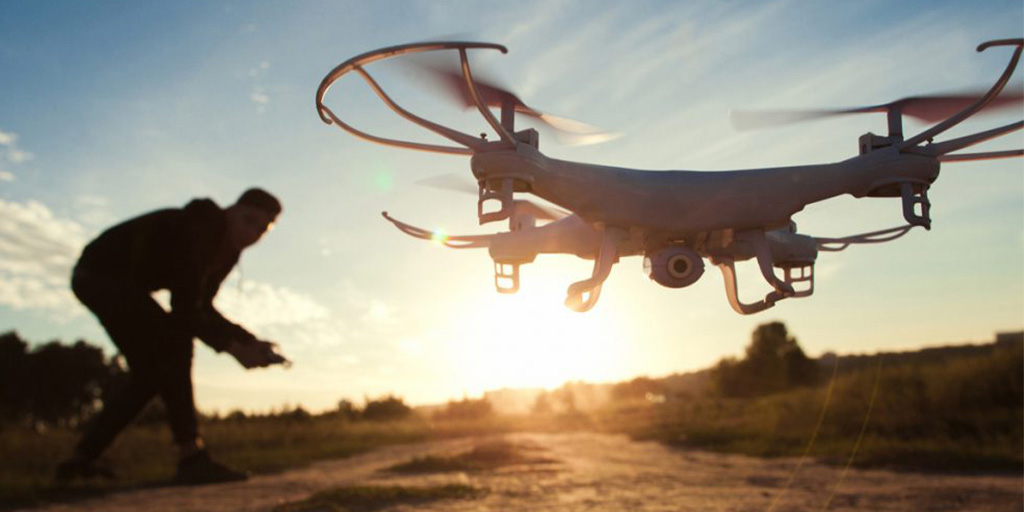
As we outlined in our LiDAR blogpost, capturing quality aerial imagery requires more than just a camera. A GPS system, an Inertial Measurement Unit and a computer software application to record all the data are all needed. Due to the size of some drones, housing all this equipment with the requisite specifications may be a stretch for the vehicle.
Equally, due to the size of drones the flight coverage is limited and seriously impacted by the weather conditions.
In Summary
A conventional perspective aerial photograph will provide some level of information. Equally, a satellite image from free online platforms will provide a base level of detail.
But without the proper processes and equipment neither will provide reliable data from which you can make plans at scale.
If you need a map and aerial image, from which to inform commercial decisions, you will need an orthorectified aerial image.
Further Reading
How do we make maps from orthophotography?
Can Tailte Éireann – Surveying help you?
Tailte Éireann – Surveying is the country’s most experienced and trusted supplier of aerial imagery and related products and services.
If you would like to hear more about our aerial mapping process, visit Tailte Éireann – Surveying mapping services.
If you would like to talk to one of our team you can contact Kevin Brady or Stuart Doherty directly.
Back to All